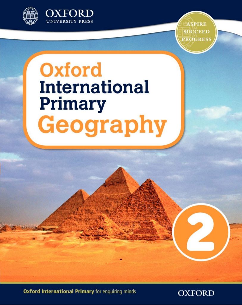
About This Book
Oxford Primary Geography Student’s Book 2 is the second student’s book of the Oxford Primary Geography course — the pupil’s book for the course’s second level. It is a coursebook in the strict sense: the child’s own pages for the year, carrying town maps, photographs, diagrams, and fieldwork activities in the sequence the course prescribes, pitched a clear step beyond the first book’s street-scale world.
Second-year geography is where the discipline’s signature move is learned: explaining a pattern. A Book 1 pupil can say the shop is on the corner; a Book 2 pupil begins to say why shops choose corners, why the bridge is at the narrow point, why the old town huddles near water and the new estates spread along the road. The book teaches this through the child’s own locality wherever possible, because a pattern explained about a known place is understood in a way no textbook example matches. Map skills mature in parallel — symbols standardised into keys, directions given by compass point, routes described so precisely that another child could follow them — and the weather strand advances from symbols to simple records: temperatures compared, rainfall counted, the seasons now a chart the class has made with its own hands. Fieldwork, in its primary form of going outside and looking with a question in mind, becomes the book’s heartbeat. The pupil who finishes Book 2 owns something durable: a home territory they can read like a text, and the first tool — the why-question — with which every later landscape, near or far, will be read the same way.
What Learners Will Practise
Town Maps and Keys
Children practise reading real-style maps of settlements: symbols decoded through keys, routes traced and described, distances judged by eye and scale bar. The home locality is mapped in earnest now — not the classroom plan of the first book but streets, landmarks, and the journeys between them.
Land Use Detectives
The book practises geography’s why: sorting a town’s buildings and spaces by their use, then explaining their arrangement — shops where people pass, houses where it is quiet, fields where the land allows. Pupils survey, tally, and conclude, the full fieldwork cycle in miniature.
Weather Records
Observation matures into data: daily weather logged in symbols and simple numbers, months compared, patterns stated in the child’s own words. The class’s chart becomes an argument — this autumn was wetter than the last — supported by evidence the pupils collected themselves.
Key Features
The why-turn is the feature: description promoted to explanation, at an age when the promotion feels like a compliment. The local-fieldwork method is the second — the child’s own town as the primary text — and the student’s book format the third, one visual, activity-led volume for the year. In this collection it is the geography shelf’s second student’s book.
Who This Book Is For
Second-year primary pupils are its first audience, ready for a territory larger than their street. Teachers form its second readership, given fieldwork that fits a school timetable and a locality any school possesses. Parents make its third, drafted as guides and audience for surveys of the home neighbourhood — and likely to learn, from a seven-year-old with a clipboard, at least one thing about their own town they never noticed.
How to Use This Book
Walk the routes before mapping them; the book’s sequence assumes feet before pencils. Keep the weather record unbroken — a gap of a week is a lesson in itself about data, but a kept year is the treasure the final units spend. At home, hand the child the questions the book trains: on any journey, why is this here, what would you build there, and where does the water go.
Related Books
The course’s opening student’s book stands at Oxford Primary Geography Student’s Book 1, and its senior student’s book waits at Oxford Primary Geography Student’s Book 6.